There are more trees than people in Philadelphia. 150,000 along the curbs. 2 million in parks and forests. The Department of Parks and Recreation manages these trees.
Until recently, an inventory of the City’s trees ran across paper note cards and spreadsheet files. In essence, the City had no usable data on the trees it was supposed to manage.
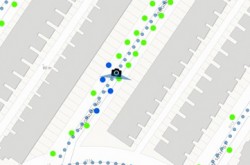
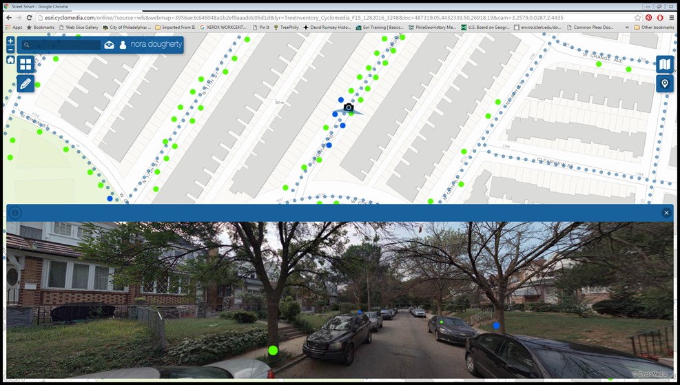
Parks and Recreation’s Nora Dougherty had an idea to use mapping technology (known as geospatial information systems or GIS) to create a complete inventory of the City’s street trees. To do this, the department used Cyclomedia, GIS software that provides high-definition imagery and integrates with ArcGIS Online, the cloud-based platform that houses the City’s robust collection of mapping data.
Cyclomedia provides higher quality imagery than Google Street View. Using the software, you could read a post-it note on the front door of a house. To create an inventory, two GIS technicians digitally drive down the street and catalog trees by size, species, and health.
While it’s important from a management perspective to have an accurate inventory of the City’s street trees, it’s also a public safety issue. By having an up-to-date catalog of the health of the trees, the City can be proactive and remove dead trees before they fall.
Since January 2016, the small team has cataloged over 35,000 trees, just finishing up Council Districts 1 and 8 in the district-by-district project. While there’s a long way to go, it’s an important effort and one of the many examples of how the City of Philadelphia uses GIS technology to improve municipal operations.