The City of Philadelphia started off the new year like any open and accessible government should: by releasing a ton of datasets. This batch release spans health, business, election, and city facilities data. The City of Philadelphia releases data through the community open data portal, OpenDataPhilly.
Released datasets at a glance:
- Walkable Access to Healthy Food 2012-2014
- Solar Technology Projects
- Water Inlets
- Commercial Corridors
- Storefront Improvement Program Grants Disbursed
- Bullet Voting 2015 Data
- City Facilities
Below are summaries for each dataset, broken down by City department:
Philadelphia Department of Public Health:
- Walkable Access to Healthy Food 2012-2014: City blocks categorized by “no”; “low”; “moderate”; or “high” walkable access to healthy foods. This dataset also identifies priority areas with both high poverty and no/low access to healthy foods. Two versions of this data include:
- Low to No Access and High Poverty
- Citywide Walkable Access to Healthy Food
Energy Office
- Solar Technology Projects: Newly downloadable data that can be used in a virtual solar tour of the locations and descriptions of solar technology projects in the city. You can also use a previously-release interactive mapping tool developed by the Office of Sustainability to find the proximity of solar projects to a specific address.
Philadelphia Water Department (PWD):
- Inlets data: Wastewater and stormwater inlets in Philadelphia with latitude and longitude coordinates. PWD uses this data as a platform for planning, analysis, and research.
Planning Commission and Department of Commerce:
- Commercial Corridors: This dataset reflects information gathered by Planning Commission surveyors on commercial corridors with investments from the City. These retail-rich areas in Philadelphia spark economic, cultural, and aesthetic engagement in neighborhoods. Corridors are identified by population demographics, accessibility, investment, zoning and land use regulations, and gross occupied retail space. Surveyors also subjectively analyze and rate the physical characteristics of each corridor.
Department of Commerce
- Storefront Improvement Program Grants Disbursed: Recipients of grants, award amounts, and project sites funded through the Department of Commerce’s Storefront Improvement Program. Through this program, businesses receive funds to improve the exterior of their storefront and beautify the surrounding commercial corridor.
City Commissioners Office
- Bullet Voting 2015 Data: Each voter is allowed to select up to five candidates for City Council At-Large. When a voter chooses only one candidate, it is known as “bullet voting.” An interactive map showing bullet voting patterns during the last election was released in October 2015. You can now also download the underlying data used in the map of instances of “bullet voting” in the 2015 primary elections. City Commissioners released two versions of this dataset:
- Republican 2015 Primary
- Democratic 2015 Primary
Office of Innovation and Technology:
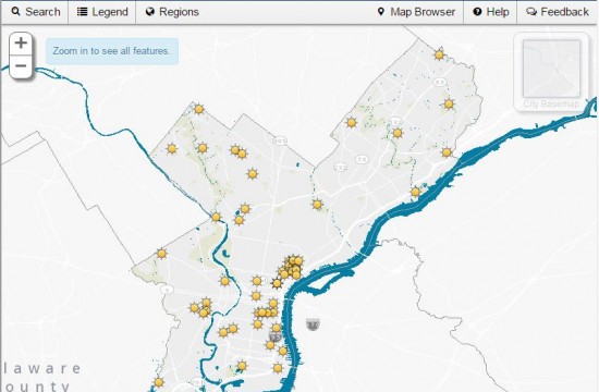
- City Facilities: This is an updated inventory of buildings and other fixed assets owned, leased, or operated by the City of Philadelphia. This dataset also identifies sites that have received the City’s Capital Program funding to support the use or maintenance of the facility. Facilities include administrative buildings, athletic fields, airfields, airport buildings, bridges, ball courts, fire stations, health centers, libraries, museums, parks, playground equipments, piers, police stations, pools, recreation centers, and water facilities.
Keep in Touch!
There’s lots of ways to get involved. For information about these datasets and others, go to OpenDataPhilly.org. Visit this resources page for video tutorials and links to tools to help analyze data. Follow @PhilaGovData on Twitter to get alerts on future data releases, share how you plan to use open data with data@phila.gov, and join us on the public open data google forum.